• About
  • Blog
  • Contact
  • Favorites
  • Archive
Menu

Poppy Corners Farm

Street Address
Walnut Creek, California
Phone Number
Walnut Creek, California

Your Custom Text Here

Poppy Corners Farm

  • About
  • Blog
  • Contact
  • Favorites
  • Archive

The Trickster

August 2, 2022 Elizabeth Boegel

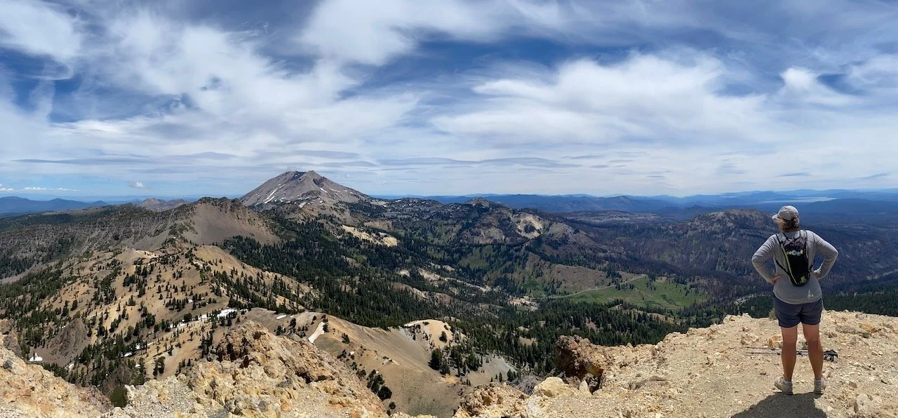
Tom and I are having an ongoing discussion regarding some of our observations while hiking. This discussion involves things we see a lot of, and our continuing debate takes two sides (which either one of us takes arbitrarily at any given time), both of which seem probable.

Side 1) We’re seeing a lot of (insert practically any item here) simply because we are logging more miles. The fact that we hike so much more than we used to naturally means that we see more of the item.

Side 2) We’re seeing a lot of (you name it) because there is actually more of it. This is because of greater drought, or heat, or specific conditions that cause the thing to proliferate.

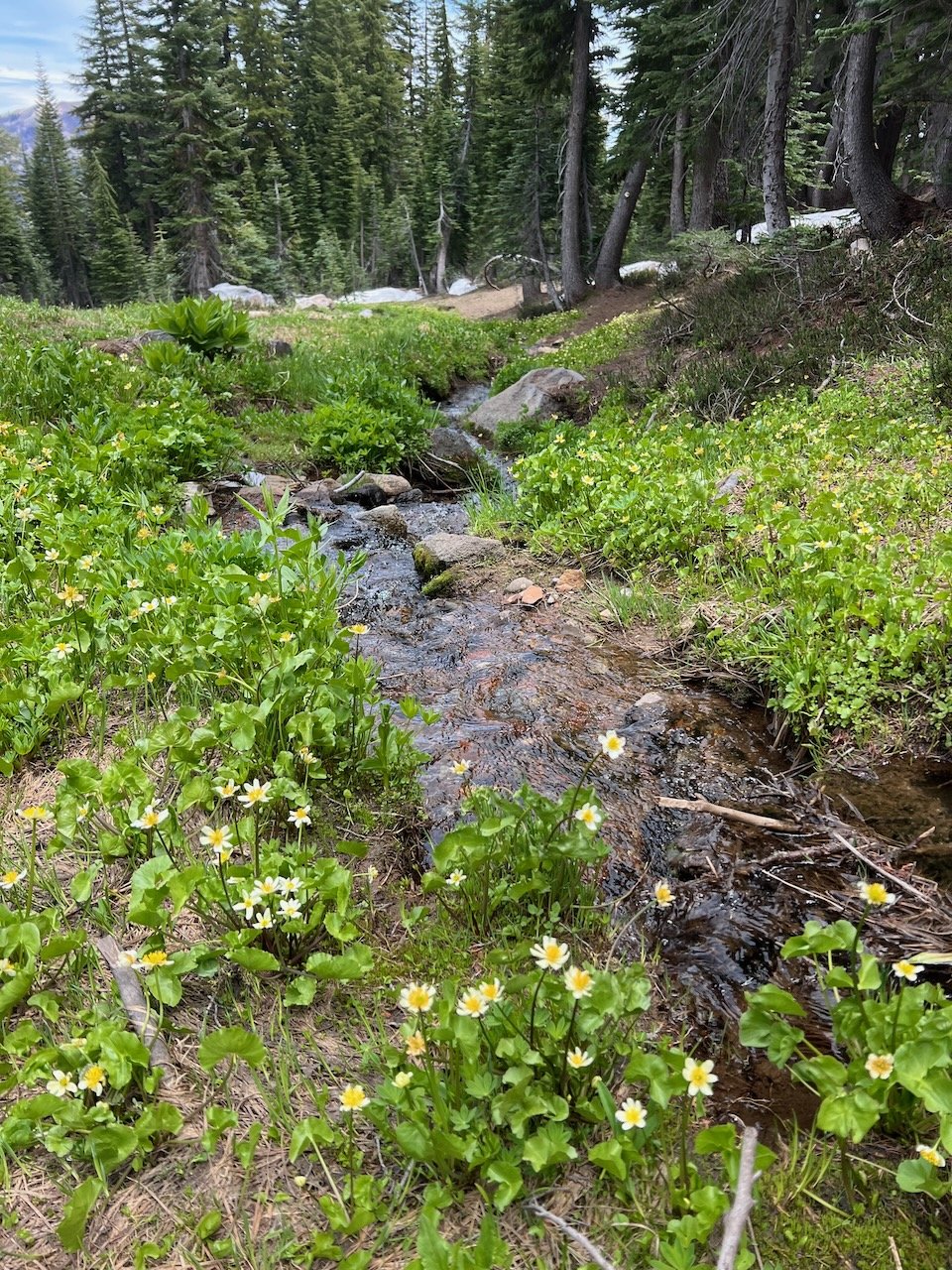
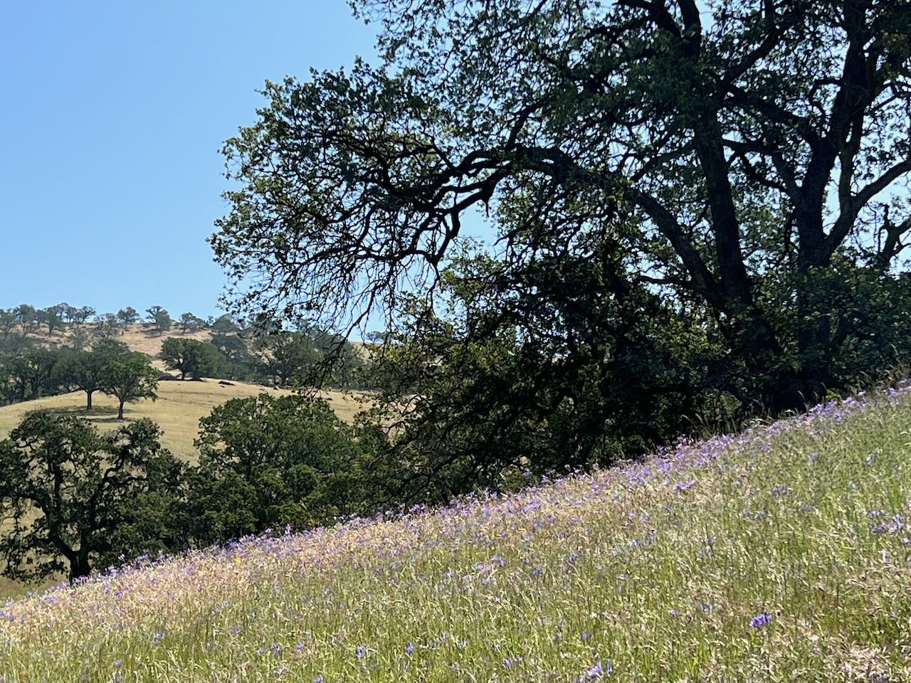
As an example, earlier this year the item in question was lupine. For maybe two months we saw lupine en masse during every hike. Was it a particularly good year for lupine, and if so, why? Or was it just that we were on trails that always have lots of lupine and we just never noticed before? (Hiking long distances leads, sometimes, to really evolved conversation; other times, it just leads to perseveration.)

Another example - quail. It seemed like we used to see quail a lot in the 90s. Then in the 00s and 10s, hardly ever. And now - thrillingly - quail everywhere! Were we just completely checked out during our kid-raising years? Or is it true that quail were in jeopardy, and are now making a comeback?

I can’t answer these questions, or more accurately, I don’t have the time to do the research that would give me an answer to these questions. Maybe you know. In the hopes you do, I present to you the latest thing that has me constantly dickering with myself while I hike. That thing is Toxicodendron diversilobum, more commonly known as Poison Oak. Remember binomial nomenclature? In this case, the genus, Toxicodendron, means ‘poison tree.’ The species, diversilobum, means ‘diversely lobed.’ Yeah, we know about the poison - no surprise there. But the diverse lobes is interesting, and refers to the fact that the leaves are irregularly lobed, resembling oak leaves. Hence the common name, poison oak.

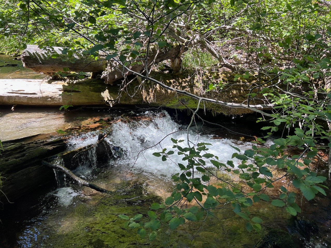
I’ve been seeing SO much poison oak this year. So much. It runs all along the trails and often even reaches a delicate branch out into the middle of the trail, causing me to anthropomorphize this poor opportunist plant and screech “NOT TODAY, SATAN” around every curve. You will forgive me for my hysterics, because poison oak is supremely tricky.

To wit:

Poison oak can be green…

… or it can be red, or a combination of green and red.

Poison oak can be a loner plant…

… or hang out in a group (or a freaking hedge).

Poison oak can be a bush, or a vine…

… or a ground cover.

Poison oak can have tiny, finely lobed leaves…

… or big, blowsy, looks-like-a-pear-tree leaf.

In spring, poison oak has really pretty flowers…

… which later on, turn into berries. Birds love the berries, which is one way this plant spreads.

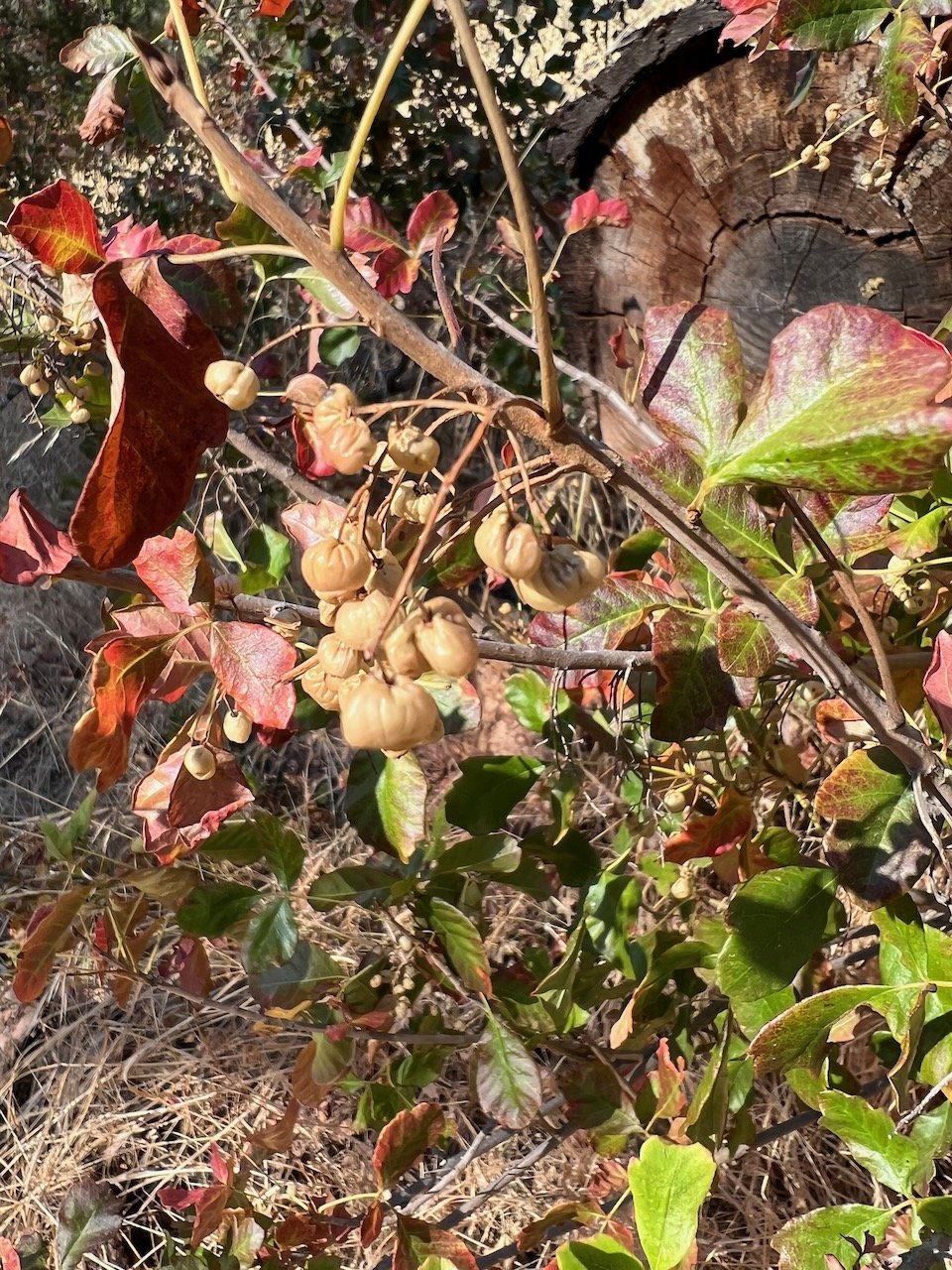
Poison oak can have glossy leaves….

… or dull leaves.

Every part of the plant is ‘poisonous’ and can cause a skin reaction. Don’t go gathering those pretty leaves by the side of the trail! For heaven’s sake, don’t make a pile and jump in! And if you must pee on the side of the trail, by all that’s holy, drip dry!!!

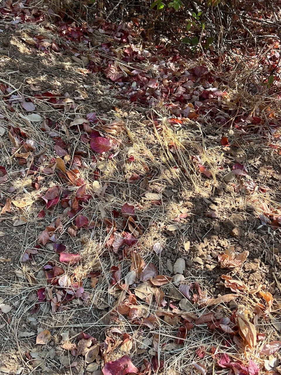
And what you might think is a dormant tree might actually also be poison oak.

The stuff that we react to in poison oak (or ivy, or sumac - they are all in the same family) is called ‘urushiol.’ In most people, it causes a blistering, itchy rash. I once knew a woman who sat by a campfire on which, unwittingly, someone had thrown some poison oak branches. Because all the people around the fire breathed in the smoke, they had a reaction in their mouths, throats, and lungs. So it can even affect your insides.

At my school garden, I’ve been finding poison oak entwined with invasive Himalayan blackberry in just about every corner. The other day, I watched some bare-legged athletes who were headed to the field behind the garden take a shortcut behind our barn - you guessed it - right through one of these thickets. When I said, dismayed, “you just walked through poison oak!” the athletes said, “how do you know it’s poison oak?” So we had a little lesson, right then and there. I also told them to go to the bathroom immediately and wash with cold water and soap. It’s best to use cold rather than hot water, because hot water opens pores and that can cause the poison oak to spread rapidly.

Since poison oak is so tricky, and so prevalent (especially this year???), I have taken to keeping rubbing alcohol wipes in my car.

If I think I’ve had any contact at all, I rub my legs (or arms, or face, or shoulder) with one of these wipes. Then, as soon as I get home, I wash with Tecnu, the miracle cure.

I swear on this stuff. I put it on, rub it around, wait a few minutes, and then hop in the shower and wash with cold water. Works every time. (OK, 99% of the time. I still get a spot of poison oak every once in a while.)

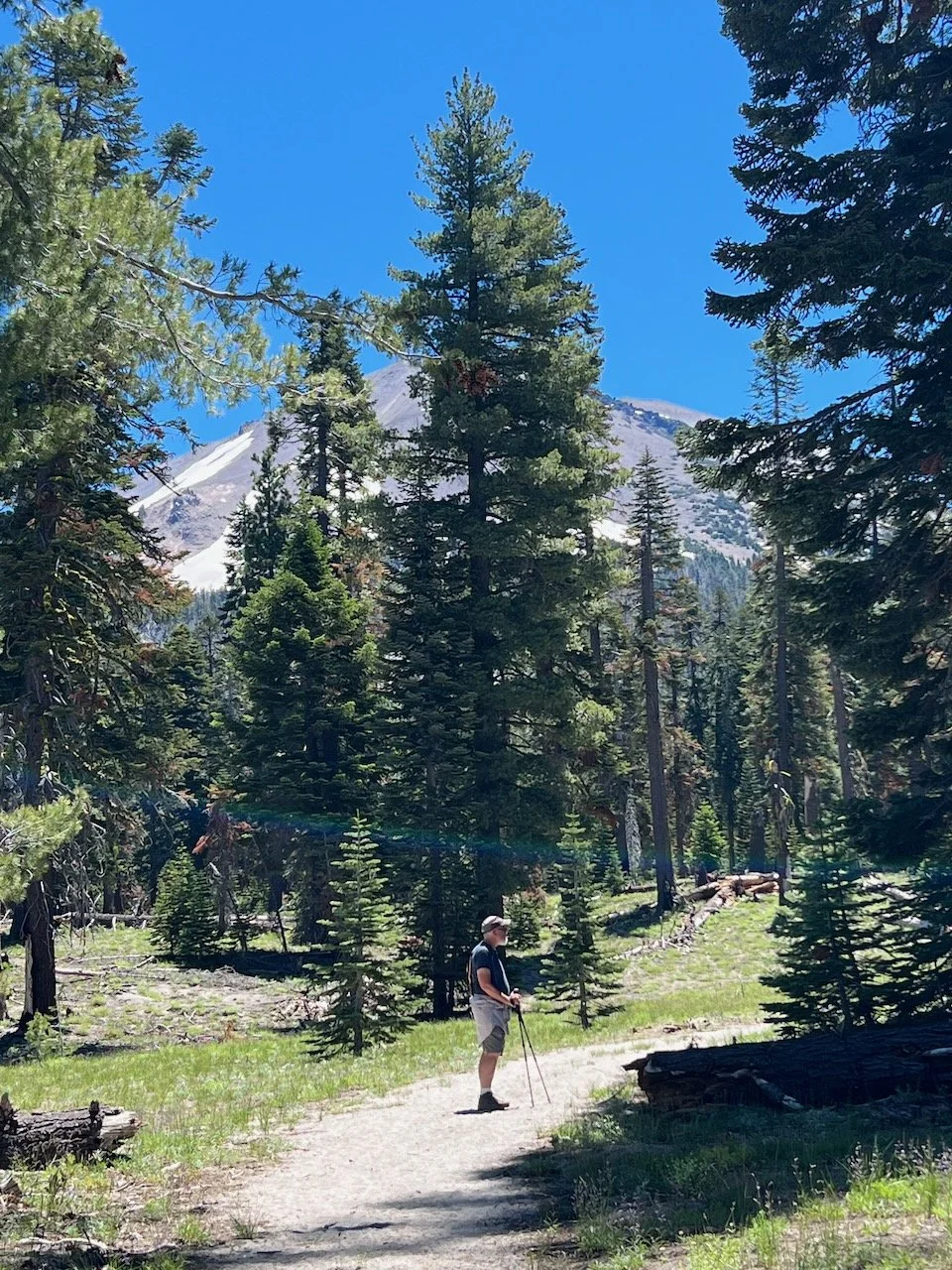
I love being outdoors so much, and I love hiking, and I especially love side trails, the narrow ones that take you places other people don’t often go, the ones where you seem to find a secret around every corner. My daily hikes keep me physically healthy and mentally sane, and there’s no way I’m giving them up, even if there is a plethora of poison oak this year (???). So it’s good to recognize this trickster in all its forms, so that it can be avoided, and it’s good to know how to treat it, if you accidentally come in contact with it.

Now, if I could just figure out if there really is more of it this year…

Tags hiking
6 Comments

The Mountains Were Calling

July 6, 2022 Elizabeth Boegel

So naturally, we had to go!*

Tom and I have always wanted to explore Lassen Volcanic National Park, so when I realized that both the kids would be home this summer and the house might start to seem a bit small with four adults knocking around, I took advantage of the long holiday weekend and booked the two of us a trip up north. We left Friday, driving up through Chico, then traveling across a butte and through Lassen National Forest to get over to Chester, a tiny town at the north tip of Lake Almanor. We stayed at a delightful inn called The Bidwell House, which was about a half hour south of the park entrance; our room came complete with a Japanese soaking tub, which was heaven for tired hiking feet.

But I’m getting ahead of myself. Let me start from the beginning.

You may not know that I totally fangirl over thru-hikers. I’ve never fulfilled my dream of going on a months-long hike - I’ve never known how to make that work, logistically - so I satisfy my adventure cravings by watching PCT/YouTubers every summer as they document their journey from the CA/Mexico border north to the WA/Canada border, a walk of 2,650 miles. When I saw that our drive would take us right through the PCT, I planned for us to stop and take our Friday hike there, giving me a little slice of what it’s like on the trail.

What I had completely forgotten was that starting July 13, 2021, and continuing for four long months into late October of 2021, the Dixie Fire (the largest single fire, not part of a complex, in California’s history, and the second largest overall) burned through nearly one million acres, across five counties (Butte, Plumas, Lassen, Shasta, and Tehama). As we drove west on highway 36, from Tehama into Plumas county and Lassen National Forest, our excited chatter turned to silence as views of lush green forest turned to blackened trunks and stumps. In our Bay Area privilege, we had totally blocked out the memory of red skies and falling ash last summer. Mile after mile we drove, heavy of heart, looking out into the destruction.

We parked the car at the turnout for the trailhead, tied on our hiking shoes, and silently started walking.

We walked quietly, without talking, except to greet passing hikers. We walked on the designated path through the burned trees. In some places, life was returning - manzanita, snowberry, and hardy grasses seemed to dominate - and along the one creek we crossed, there was a riot of wildflowers. But there was no birdsong, no butterflies, no insects. We reached a high point; as far as we could see, the forest was burned.

It was less a hike and more a prayer. We were deeply, deeply affected. How many times, in this blog, have I written about fire? How many times have I opened the Cal Fire website to be greeted with more statistics about yet another fire? How many times have I turned on the TV news and watched as a family walked back onto their property to find only soot and ash? This one hike made it all real for me. The Dixie Fire was a massive, massive event. Lassen Volcanic Park, we learned later, was 69% burned. The city of Chester, where we stayed, was mostly intact, with the lake nearby, but all around it? Burned. We were constantly faced with the real fact of the fire on our weekend; it was present every moment. And it didn’t end when we left on Monday, either - our trip was bookended by the sorrow of wildfire.

But before we get to that, let’s talk about the good stuff. Because, oh, there was some good stuff. Lassen is a magical place.

After that first sobering hike, we checked in at the hotel, took a soak to wash off the soot, and headed to Lake Almanor to find some dinner. Chester is a one-street town; there’s not a lot of dining or entertainment options available. We managed to find a serviceable dinner of sandwiches and salad at a golf-course grill next to the lake. Afterward, following our innkeeper’s directions (“just drive down the west side, and anywhere there isn’t a house, you can go down to the lake”), we found a rocky beach to explore. From there we could watch people boating and swimming, the cliff swallows catching a sunset meal, and view a snow-capped Mt. Lassen far in the distance, a possible hike for us during the coming weekend.

Saturday morning we drove past the tiny town of Mineral, where we saw a cowboy-hatted caballero leading a horse through a meadow to pasture (postcard perfect!), into the park proper. Immediately after paying the fee ($30 for a week’s access to the park; truly, the NPS is one of the best bargains of all time) we headed into the visitor’s center to talk to a ranger about conditions. This is the first thing we do in any park that is unfamiliar to us, and it is always fruitful. In this case, the ranger showed us a map of the park and explained how most of it was inaccessible due to last year’s fire. Many of the hikes I had planned for us to do were no longer an option. And it turned out that Mt. Lassen still had quite a bit of snow on it. The ranger said, in no uncertain terms, that unless we had experience hiking in snow, it would behoove us to skip it - they had airlifted two people off the mountain the day before in two separate helicopter rescues. Ok! No Mt. Lassen for us, then!

Noticing that a ranger-led talk was starting in ten minutes, we hightailed it up the road to the Sulphur Works, where we learned about the four types of volcanoes and that all four are present in Lassen Volcanic Park. We also saw a bunch of bubbling mud pits. That was way cool.

owlcation.com

The park is huge, so we decided to drive all the way through it and see everything from the road, first, and when we got to the northernmost end, we’d stop at Manzanita Lake and have a hike. We figured we’d have time afterward to stop at all the small, interpretive walks (such as the ‘devastated’ area, resulting from the 1915 eruption of Mt. Lassen) scattered along the road on the way back. But it turned out that the drive to and from Manzanita Lake took more than an hour each way, along a very curvy road with lots of congestion at the marked pull-outs, so we never did get to do all those little interpretive walks. However, we did get a wonderful hike on the backside foothills of Mt. Lassen, from Manzanita Lake up into the subalpine forest, through alpine meadows, past Chaos Crags to Manzanita Creek.

And the flowers, my goodness, the flowers. It’s like we went back in time three months, back to Spring. That was cool, but also these were flowers that I had only heard about or studied, never seen in person before. Alpine flowers! Hardy little souls, blooming in the leanest of soils, after a snowy, cold winter: scarlet gilia, longspur lupine, pine violet, Sierra penstemon… and the trees! Subalpine fir, Jeffrey pine, cedar, alder, and birch. These alpine meadows made me so happy, and I can’t even explain why. Maybe because, despite the state of the world, nature just digs in and survives, even in harsh conditions.

We spent a little time at Manzanita Lake, watching the families on vacation. Then, a long drive out of the park, a long soak in the tub, and off to a surprisingly good dinner on the peninsula in the middle of Lake Almanor. We made sure to get to bed early, since we needed plenty of rest before our biggest hike on Sunday.

Sunday’s hike: Brokeoff Mountain. A remnant of an andesitic stratovolcano within ancient Mount Tehama, part of the Cascade range of Northern California. Over the course of almost four miles, the trail to the top winds through open meadows, over creeks and tree blow-downs, through snow (often the trail is snowed in until August), through forests, then into scattered hemlocks, volcanic sand, and steep fields of volcanic scree, until you climb above the timberline and into the broken rock at the top, all while gaining an elevation of 2500 feet. For the last few months, I’ve been doing regular hikes that range between 8-10 miles with about 2200 feet of elevation, so I was confident that I could do this hike. Tom was skeptical; he works at a desk for a living, and most of his exercise consists of daily walks to and from the BART station, our weekend hikes being challenging enough, thank you. I might have heard him muttering things like “brokedown and brokeass,” however he was game - and by golly, I appreciate a man who is game.

Coffee slurped, drive to the park completed (today, the caballero was leading two haltered horses in an obvious training exercise through the misty meadow), we checked in with the rangers and got the go-ahead - there was very little snow on the trail and conditions were fine. There was nothing for it, then, but to tighten our laces, shoulder our hydration packs, strap on our poles, and get moving. I set a measured pace, resolving not to take pictures at all on the way up. This was difficult as every other step revealed some treasure; on this south-facing slope, the trail was simply overflowing with flowers.

And yes, we climbed over blow-downs. We forded a small valley lake/wide stream. We tramped through snow. We picked our way up steep volcanic slopes. We reached the craggy ledge just below the top and saw Mt. Shasta in the distance. We celebrated at the summit with a young couple from Berkeley and exclaimed over the views. Tom turned to me and said, “I’ve always thought people who climbed mountains were crazy, but now I think there’s something to it.” Frankly, it was one of the best moments of our marriage.

And then on the way down, I took picture after picture of the beautiful scenery. Mountain scenery. The kind of things I needed to store in my memory for the months at home hiking in the completely brown and dry hills near our house. The green trees, the colorful flowers, the mountain streams, the grand views.

But the very best thing happened at the very end of the hike, when we were only steps from the road. We stopped to talk to a hiker going up, and at some point I looked up the hill, and there was a bear. A black bear! Maybe 20, 25 feet off the trail, browsing through the greenery, munching away. A juvenile, probably - a young bear, but older than a cub - a teenaged bear! I could hardly believe my eyes.

Well, that made it a red-letter day for sure, and we rode that high for several hours afterward, through a pizza/salad dinner, and a dessert picnic on the bed in our pj’s.

Unfortunately, on Monday morning, we needed to head out of Chester before the neighborhood 5k fun-run and 4th of July parade began, so our journey home started early. We left the area with a promise to return (we still have more than half the park to explore!) and took off for home in a different direction, south towards Bucks Lake Wilderness, where we stopped for a hike around the lake to an inlet where we were able to dip our toes in the cold mountain water.

But our real reason for going home this direction was to drive through Berry Creek, north of Oroville, to see the aftermath of the 2020 North Complex Fire. Berry Creek was the home of our beloved Camp Okizu, a camp we have been attending as a family, and the kids on their own, for many years. Okizu is a camp for children with cancer and their families, and when Adam was diagnosed with leukemia at age 2, one of the first things our social worker shared with us was information about the camp. We went for the first time as a family when Adam was three (he was too sick that first year to attend). Thereafter, we attended family camp every year in the autumn. It was a wonderful time to share information and stories with other parents who had kids with cancer, and our children made lifelong friends at camp. When Adam was 7, he started attending for a week in the summer by himself. And the truly different and special thing about Okizu is that they run sibling camps, so Rin was able to start going by themselves at age 8 for a week every summer. So, three times a year, without fail, Tom and I made the drive up to Berry Creek; I would drop a kid off, he would go pick them up. Then the other kid a different week. Then all together as a family in the autumn. We LOVED it there. The kids with cancer could do anything anyone else did. There were doctors for those that needed medical assistance and golf carts for those with mobility issues. There was hiking, fishing in one lake, swimming and boating in another lake, a ropes course and zip line up the next hill, a campfire with s’mores and silly camp songs. The cabins were wonderful and the main lodge was the main meeting place, where we ate meals, played games, and made countless friendship bracelets. No devices were allowed. Hammocks and naps were encouraged. All of this was free to us and to every family that attended.

Okizu had many close calls with wildfire before, but in August of 2020, the North Complex fire ripped through the area north of Oroville and burned nearly 320,000 acres before being completely contained in December. Camp Okizu was totally destroyed.

We wanted to drive by, even though we knew we wouldn’t be able to go in and see the area where the camp had been. As we left Bucks Lake, and drove south towards Berry Creek, we got quieter and quieter. The scenery changed from verdant forest back to charred stumps. The North Complex fire was two years ago, so in contrast to the Dixie Fire area, the ground was beginning to recover with all kinds of bushy growth. That was good to see, but the scope of the damage was still overwhelming. The front gate of Okizu, once in the middle of dense forest, was now completely bare. Properties that had once contained houses were now empty except for a foundation, and often, a trailer. That, especially, gave me pause. After two years, families are still living in trailers. How can that be?

As if to add insult to injury, our drive out from camp took us past the Oroville Lake Reservoir, and the water level looked impossibly low. How strange, to be one day in territory where water is abundant and snow is still on the ground in July, and the next day in an area that is clearly drought stressed. The drought is never far from our minds at home, where water falling from the sky is an event limited to a month or two in winter; being at the reservoir underlined the need we feel for conservation of resources. Water management in California has a long and sordid history, and I’m not sure how we’re ever going to make it right again. Suffice it to say, between seeing the demise of Okizu with our own eyes, the results of two different enormous fires, and the low water level at Oroville, our hearts were heavy as we headed home from our vacation.

Luckily, a farmstand saved the mood. It may seem trite to say that peaches turned our world around, but the thought of peach pie for 4th of July dessert gave us a much-needed refresher, and when we saw the sign for fresh-picked fruit, you better believe we stopped to get some. The heavenly smell of ripe peaches, warm from the sun, accompanied us the rest of the way home.

A couple of final thoughts.

- We often desire to travel far from home, when something wonderful can exist just down the road. We’ve all been isolated at home for several years now, and a bit out of practice when it comes to leaving our comfort zone. A short trip to a location close to home can be the perfect bridge between that comfort zone and a more ambitious trip. I’m guessing that, no matter where we live, we all have regional, state, or national parks within a day’s drive of home. It’s worthwhile to get out and explore, even if it doesn’t seem exotic. A change of elevation, or microclimate, or even zip code, can be as refreshing and informative as a trip across the planet.

- While this trip was bookended by melancholy, and maybe that doesn’t seem like much of a vacation, the truth is that life is bittersweet. The older I get, the more I appreciate that true joy cannot be felt without a bit of sadness underneath. This is not depressing; on the contrary, it makes the joyful moments even sweeter. I am grateful to have a companion that is always up for an adventure, and likes to laugh, but also doesn’t shy away from the hard parts of life. Denial doesn’t enrich anyone, and it certainly doesn’t promote necessary change.

- Five years ago, I took one of my first classes at Merritt College with Stew Winchester, a true expert in native California plants and the communities in which they thrive. Stew would often share photos of the places he’d been and the flowers he’d seen, using slides and a vintage projector. He’d always ask, “Have any of you been to the Carrizo Plain? Antelope Valley? The Klamath River?” Most of us would shake our heads or dissent. Stew would look around with his eyebrows raised, and simply say, “You gotta go.” He was a firm believer in seeing these wonderful plants in their native environment, thriving in the perfect niche that nature had designed for them. I’ve never forgotten that. I’d like to think I’ve taken it to heart, and tried mightily to just “go,” to see, to learn, to experience, to feel. Being in Lassen checks another box for me, and encourages me to continue exploring. I hope you will, too.

*A famous quote by John Muir. “The mountains are calling, and I must go.”

Tags travel, natives, hiking, fire
6 Comments

Bio Blitz

April 27, 2022 Elizabeth Boegel

Yesterday, I participated in a Bio Blitz.

Have you ever done this? My first was years ago, with my insect class at Merritt, and we looked primarily for insects in a particular garden; I think my teacher hosted that one. The Bio Blitz I joined yesterday was through the Save Mount Diablo foundation, in tandem with the California Native Plant Society, and it was specific to a certain area within the Diablo Range. Two years ago, in August of 2020, a lightning strike started an enormous fire called the SCU complex. It burned through nearly 400,000 acres during the 44 days the fire was active, and spanned five counties.

This blitz was held to determine if certain species were recovering, as well as to discover evidence of new species appearing - those that only bloom after a fire. We were given a span of two weeks in which to hike in the affected area and record our observations. Since the area is not easy to get to, I decided to give myself one full morning to ramble about in a specific corner. I went to Round Valley Regional Preserve (on the East side of Mount Diablo; the mountain is at the far north end of the Diablo range), and hiked out into Round Valley itself between Morgan Territory and the Los Vaqueros Reservoir.

I walked about 8 miles through mostly Oak savannah and grassland plant communities; this area is ranched and highly grazed, which means that invasive, non-native plants are dominant. However, I did see some interesting things…

… like Digger bees building their nests. I found a sort of ‘seep’ - amazing in itself, as we’ve been in drought now for months - and this seep was within two embankments about 2-3 feet tall. I sat and watched dozens of these bees get water from the muddy seep, then go back to the embankment and wet it with the water they had collected, in a focused spot. Then they started to dig a tunnel into the softened dirt. There were holes all over the embankment and bees flying in and out. I just sat there and experienced it. The bees were busy and didn’t pay me the least mind.

I also saw…

… a lovely long Pacific gopher snake. These snakes can grow up to 7 feet long, although this one was closer to 4, and it was likely a male out looking for a mate. It was in a sort of shady spot and so it surprised me and I nearly stepped on it. Isn’t he a beauty?

Later, I allowed myself to sit for a while by a large patch of mustard (invasive and non-native, yes, but also a great source of nectar and pollen for insects) and saw all kinds of interesting creatures, but was particularly enamored with …

… this California Hairstreak butterfly. These creatures breed and lay eggs in trees, mating in the tops of them, and gluing clusters of eggs in the bark. They like species of oak and willow, both of which were near this patch of mustard which was near a dry creek bed. This whole area was filled with both blue oak (my favorite) and valley oak trees. I’ve since learned that the population of CA Central Valley hairstreaks is endangered, since the valley oaks themselves are endangered (loss of habitat due to continuing water issues and the constant expansion of farming). It made me happy that I had gotten to see one here, a little farther north.

Near the end of my ramble, I came upon a slope leading up to the higher peaks above the valley. These slopes were nearly devoid of vegetation, and quite rocky. I started turning over rocks to search for scorpions. I found dozens of Sawfinger scorpions; shy creatures who stay out of the sun during the day and hunt at night. These are quite small, not even the size of my thumb, and so skittish that it was hard to get pictures of anything but their tails. They reminded me of children who believe, during games of hide and seek, that if they can’t see you, you can’t see them. But the scorpions’ tails showed me where they were hiding.

A little later, I flipped over a log to search for beetles, and I found…

… this little Sawfinger scorpion, who gave me a great photo op before scurrying away.

I had a truly wonderful hike and a great time documenting everything I saw (by uploading it into iNaturalist). I realized that it isn’t often that I allow myself a good chunk of time just to experience nature. I mean, I hike and walk every day, often a similar distance, but I tend to do it at a much faster pace. I do stop and take occasional pictures (Tom would say it’s more than occasional!) but I’m also out to get it done, and done fast - a good workout with a good heart rate elevation in a short period of time, and then I’m able to get on to the next thing. It’s been a long while since I gave myself permission to saunter and stop and really look at things, or even truly wait for something interesting to happen. I was passed by the occasional trail runner and instantly felt a sense of guilt, or maybe more accurately shame, that I was being passed - I pride myself on walking so fast that no one can pass me unless they’re on a bike. But this time I realized how misplaced that feeling was. There’s absolutely zero shame in taking some time to simply ‘be’ in nature.

And this reminded me of my favorite Mary Oliver poem, which I’ve shared here before, but it bears reprinting because it is simply so great:

“Who made the world?
Who made the swan, and the black bear?
Who made the grasshopper?
This grasshopper, I mean—
the one who has flung herself out of the grass,
the one who is eating sugar out of my hand,
who is moving her jaws back and forth instead of up and down—
who is gazing around with her enormous and complicated eyes.
Now she lifts her pale forearms and thoroughly washes her face.
Now she snaps her wings open, and floats away.
I don’t know exactly what a prayer is.
I do know how to pay attention, how to fall down
into the grass, how to kneel down in the grass,
how to be idle and blessed, how to stroll through the fields,
which is what I have been doing all day.
Tell me, what else should I have done?
Doesn’t everything die at last, and too soon?
Tell me, what is it you plan to do
with your one wild and precious life?”
— 'The Summer Day' by Mary Oliver

This last photo just doesn’t translate well - there’s no way it can replicate the sheer beauty of this spot upon which I happened near the end of my hike - consisting of a valley oak tree, the slope beneath it literally carpeted by hundreds of blooming Ithuriel’s Spear bulbs, each one a varied shade of blue or purple, singly majestic but even more breathtaking en masse. Beauty like this deserves our full attention. And so I stopped, once again, and just breathed it in.

Tags hiking, nature, wildlife
2 Comments

All the Trails

August 19, 2021 Elizabeth Boegel
IMG_7741.jpeg

We’ve always been a family of hikers and walkers, but since the pandemic began, our daily excursions have become quite sacred to us, whether in our neighborhood (blessed by many regional open spaces with great hilly walks) or in the greater Bay Area. We have been using an app called Gaia in the last year, which records our walks, and also shows us the many trails we have yet to travel (the free version is great). This has allowed us to find trails that we didn’t even know existed, and especially on weekends, we tend to go further afield to find new favorites.

One thing that has become so clear to us is that the Bay Area is littered with extensive trail systems, some maintained by local park systems, and some by state parks or even national parks. These are all non-profit groups, often dependent on volunteers to establish or maintain trails. We are so thankful for all of these organizations, and all the people, who make this kind of recreation possible.

IMG_8081.jpeg
IMG_7787.jpeg
IMG_7005.jpeg

We have long been supporters of East Bay Regional Parks. Many of these parks are free to enter, but supporting them by purchasing an annual pass is great. Individual memberships run $60 for a year (the price of three movies, or 10 fancy coffees). A family membership is $105. The wonderful thing about EBRP is that they have an extensive system which includes urban trails and parks, as well as more suburban parks. This promotes equity in the outdoors and makes these open spaces accessible to everyone, which is something that is really necessary.

EBRP also oversees two of the longer, linked trail systems we often find ourselves using. The California Riding and Hiking Trail is mainly a Contra Costa County trail system that links Mt. Diablo with Martinez, and will encompass 16 miles of trail. The Martinez-Concord section is already completed and will link to Mt. Diablo State Park in the future. The East Bay Skyline National Trail is part of the 1968 National Trail Systems Act. It begins at the Alvarado staging area in Richmond, and ends at the Proctor Gate station in Anthony Chabot regional park. We’ve hiked most of both of these trails and have found them quite interesting.

Other local trail systems include the scenic San Francisco Bay Trail, which is a planned 500 mile walking and cycling path around the entire bay, going through all nine counties, 47 cities, and seven major bridges. 350 miles are already in place. This project is also restoring wetlands around the Bay. They have a really cool navigational map that shows existing trails (whether paved or dirt) and planned trails. We’ve walked much of this trail system, too, including two bridges, and always enjoy these walks on days when it’s prohibitively hot in our neighborhood and we need the cooling influence of the Bay. The Bay trails are often flat, as well, offering an easier but longer walk, and there is always good wildlife viewing with shorebirds.

The Bay Area Ridge Trail, however, offers a completely different kind of hiking experience, taking walkers over the peaks that ring the Bay. This trail was the vision of William Penn Mott, Jr, who was Director of our National Park Service as well as EBRP and California State Parks. He wanted a 550 mile trail encircling the ridges of the Bay Area. 393 miles of trail have been established and they are all great, challenging miles! They have some neat trail maps and tools which include ‘curated’ trail adventures such as wheelchair accessible loops, or training ridge to bridge trails for those who want a challenge.

There is an interesting state trail system that we are just recently learning more about. This is the Mokelumne Coast-to-Crest Trail, which is planned to go all the way from the Bay to Yosemite. Currently three sections are complete: the East Bay/Contra Costa County section, the Camanche-Pardee Reservoir section, and the Upper Mokelumne River Canyon section. We have been on the Contra Costa section many times, as it winds through and over Mt. Diablo, Black Diamond, and Contra Loma parks. We are hoping to eventually get to the sections east of here and explore those, as well.

There are two interesting interstate trails here, one being (of course!) the Pacific Crest Trail, which runs from the Mexican border to the Canadian border, through California, Oregon, and Washington. We have been on a very short section of this trail when hiking in Yosemite, but other than that, this trail has been beyond our reach, as it runs through the interior mountain ranges and is primarily in wilderness. It has long been a dream of mine to hike this trail, and maybe we’ll have more time in the future to section hike portions of it, at least.

Another interstate trail which I have just recently discovered is the Juan Bautista de Anza trail, which is part of the National Park System and is a National Historic Trail. It runs through Arizona and California, following Juan Bautista de Anza’s route in 1775 as he established (colonized?) a settlement in San Francisco bay. I don’t know how much we should be celebrating the takeover of land from California Native Americans, but while we don’t need to honor questionable historic activity, we should certainly learn about it and face the truth of it, and what better way to do that then to walk those same paths?

The final trail that I want to bring to your attention is the American Discovery Trail, which runs from the West Coast to the East Coast, 6800+ miles of continuous multi-use track. It does run on some roads, but the organization is working to make the trail completely off-road in the future. It is not a wilderness trail, like the Pacific Crest Trail. It passes through cities, towns, farmland, and wild areas. It is meant to be a voyage of discovery of our country as a whole. On the website, you can find the trails in your state (if it passes through your state); the California portion starts in Pt. Reyes National Seashore, and goes right over Mt. Diablo, over to Lake Tahoe, so we’ve found ourselves on this trail many times.

We are lucky to live in the San Francisco Bay Area, a place that celebrates outdoor living year-round. That doesn’t mean the conditions are always idyllic (see my previous post), but it does mean that we are provided with a lot of opportunity to get out into nature, and explore. We have come to realize that this is extremely important to us, and it will dictate how we move forward into retirement (which isn’t happening anytime soon, but that doesn’t mean we don’t think about it). We don’t necessarily see ourselves living in California forever, but we do want to live in a place that offers a lot of outdoor recreation, no matter the season. That might mean that we need to get good at snowshoeing! But that’s years in the future, anyway. Right now, we are just happy to have plenty of adventures located right outside our front door.

PS: If you like to hike and get outdoors, and you’re looking for a new adventure, let me know - Tom and I have plenty of suggestions for great walks all over the Bay Area!

Tags hiking, california, community, environment, goals, health, local, learning, nature, resources, recommendations
Comment

Mount Diablo Fairy Lantern

April 26, 2021 Elizabeth Boegel
seen on the Little Yosemite Trail in the Mt. Diablo foothills, 4/25/21

seen on the Little Yosemite Trail in the Mt. Diablo foothills, 4/25/21

Friends, I promise: Soon, my semester will be over, and I’ll be free to write long rambling posts about the garden again. Oh, I can’t wait! The garden is calling me powerfully, but for a time yet I must resist and stay at my computer, only emerging to take walks for my mental and physical health. I’m presenting my capstone project titled “Facilitating Native Bee Populations in the Urban Bay Area,” on Friday, and I am hastily editing and refining (and biting my nails).

Meanwhile, I wanted to show you this pretty little flower that is only in bloom for a short while each year, in a very narrow endemic range. Isn’t it sweet? This is the Mount Diablo Fairy Lantern, Latin name Calochortus pulchellus, and I’ve only seen it on one other trail, and that many years ago.

Calochortus is an interesting genus, with several fascinating local species. To learn more about it, you can’t beat this article in Bay Nature, published in 2015. The entire story is cool, from the way they were ‘discovered’ (by Douglas, of “Douglas fir” and “Douglas iris” fame), to the way they grow, to the places in which they grow. I thought you too might want to learn more about these pretty little ephemerals!

Side note: Tom, the kids, and I have all had our Covid vaccinations, and it feels like freedom. I am looking forward to in-person garden tours, in-person plant sales, and hugs from all gardeners in a 20 mile vicinity!

Another side note: A month ago Tom and I decided to section hike to the top of Mt Diablo (the western side) from our house, over the course of several weekends. This can be done because there are roads going to the summit on the west side, so we just had to figure out where/at which points to hit a road where we could stop and start again. It took us a few weekends, about 14 miles up (and 14 miles back down), and a gain of about 4300 feet in elevation. It was a fun project to figure out how to get up there from here. Now we want to hike the east side, but there are no roads there except the one at the staging area, so we’ll have to do about 10 miles (round trip) and 3600 feet of elevation in one day. So that’s a summer goal!

Tags natives, hiking
Comment
Older Posts →

Subscribe

Sign up to get email when new blog entries are made.

We respect your privacy. We're only going to use this for blog updates.

Thank you! Please check your email for a confirmation notice to complete the subscription process.

Powered by Squarespace